
Yukon · Northwest Territories
Dempster Highway Road Trip Guide
The Dempster is not a road to squeeze between other stops. Treat fuel, road conditions, weather and overnight planning as part of the itinerary, then let the northern landscape set the pace.
- Region
- Dawson City, Yukon to Inuvik, Northwest Territories
- Best for
- Independent road trippers comfortable with remote gravel-road travel
- Season
- Summer through early fall is the most practical window for most visitors
- Time
- 5–7 days return from Dawson City, with more time for Tuktoyaktuk
By Horizon Outdoor Editorial TeamPublished 2026-09-02

Quick facts
- Dempster distance
- About 740 km from Dempster Corner to Inuvik
- Road surface
- Primarily unpaved gravel
- Major planning check
- 511 Yukon and DriveNWT before each long driving day
- Trip mindset
- Fuel margin, spare-tire readiness and schedule flexibility
Who should choose the Dempster Highway?
Choose the Dempster when the road itself is the main experience. Travel Yukon describes the highway as roughly 740 kilometres of unpaved road from Dempster Corner near Dawson City to Inuvik, crossing the Arctic Circle on the way. That combination of distance, gravel, sparse services and changing conditions makes the route very different from a conventional scenic drive in southern Canada.
It is a poor fit for a tightly booked itinerary that depends on exact arrival times every evening. Weather, road work, ferry operations and surface conditions can change how quickly a driving day unfolds. The route rewards travellers who can treat optional stops as optional and protect the important parts of the plan: fuel, accommodation, vehicle readiness and daylight.
- Travellers who are comfortable with remote gravel-road driving
- Road trippers who can build buffer time into the schedule
- Visitors who value landscape, distance and northern geography more than dense attraction lists
What route are you actually driving?
The Dempster Highway begins at Dempster Corner, about 40 kilometres east of Dawson City, and runs north to Inuvik. Travel Yukon identifies Tombstone Territorial Park, Eagle Plains and the Arctic Circle as major route anchors before the highway enters the Northwest Territories.
If your goal is the Arctic Ocean, the journey continues beyond Inuvik on the separate Inuvik–Tuktoyaktuk Highway. Keep that distinction clear when calculating distance, fuel and accommodation. Reaching Inuvik is already a substantial remote-road journey; adding Tuktoyaktuk should add time and planning rather than simply another destination pin.
- Stage in Dawson City before entering the Dempster
- Drive north through Tombstone, Eagle Plains and the Arctic Circle
- Continue through the Northwest Territories to Inuvik
- Treat Tuktoyaktuk as an additional northern leg rather than part of the Dempster itself
How many days should you allow?
For most first-time visitors, five to seven days is a more realistic planning range than trying to turn the Dempster into a quick out-and-back. Travel Yukon publishes a six-day return itinerary between Dawson City and Inuvik, which is a useful baseline because it acknowledges the route as a multi-day journey rather than a mileage challenge.
The extra value comes from flexibility. A buffer day can absorb road delays, ferry changes, poor visibility, maintenance or simple fatigue. If conditions stay good, that same time can become a longer stop in Tombstone, a slower photography day or an additional night farther north. The objective is not to maximize kilometres per day; it is to keep one disruption from breaking the rest of the trip.
- Use five to seven days as a practical minimum for a Dawson City return trip
- Add time if continuing to Tuktoyaktuk
- Protect at least one buffer day when the wider itinerary allows it
Plan fuel and services before the scenic stops
Fuel planning should be visible in the itinerary. Travel Yukon specifically advises Dempster travellers to start with a reliable vehicle, spare tire, full tank, extra fuel, food and fresh water. Eagle Plains is a critical service point on the Yukon portion of the route and should be treated as a planned stop rather than a place you hope to reach after the fuel gauge becomes uncomfortable.
The Government of the Northwest Territories similarly advises highway travellers to know where fuel and repair facilities are and to carry enough fuel, food, water and basic supplies for delays. This is the core remote-road principle: ordinary problems become larger when the next easy solution is far away.
- Begin the route with a full tank
- Know the next reliable fuel point before leaving each major stop
- Carry food and water for delays
- Do not assume normal southern-Canada service spacing
Vehicle readiness matters more than adventure accessories
The Dempster is a public highway, but gravel, dust, rough sections, construction and long service gaps increase the cost of small vehicle problems. The NWT government explicitly recommends a mechanically sound vehicle, a good spare tire, roadside equipment and extra fuel for remote highway travel.
Do not compensate for weak vehicle preparation by buying more outdoor gadgets. A working spare tire, the ability to change it, and a vehicle that is permitted on the route matter more. If you are renting, confirm Dempster and Inuvik–Tuktoyaktuk Highway use with the rental company before booking around the vehicle.
- Inspect tire condition and pressure before leaving Dawson City
- Confirm the spare tire, jack and wheel tools are usable
- Check rental-company restrictions in writing if the vehicle is rented
- Keep basic vehicle and roadside supplies accessible
What should you check before each driving day?
Do not use an evergreen guide as a live road report. Yukon 511 provides current road conditions, weather, incidents, construction and closures, while the Northwest Territories directs travellers to DriveNWT for current highway information. Open the relevant official system before each long driving day and again when conditions appear to be changing.
A good morning check is short but disciplined: road status, weather, ferry or crossing status where relevant, fuel plan and the location of the night’s stop. If one of those pieces becomes uncertain, adjust the day before committing to the next remote section.
- 511 Yukon for Yukon road conditions, incidents and closures
- DriveNWT for Northwest Territories highway and ferry conditions
- Weather and smoke conditions for the section ahead
- Fuel, accommodation and next-day turnaround options
Do not build the plan around mobile coverage
The Northwest Territories warns that cellular coverage is limited or unavailable along some highway sections. Navigation, accommodation details and contact information should therefore be available without a live connection.
Treat digital preparation as part of packing. Save route maps, important phone numbers, booking confirmations and official road-condition links before leaving town. The objective is not to turn the drive into an expedition; it is to remove avoidable dependencies on continuous mobile service.
- Download maps before leaving reliable service
- Save accommodation and emergency information offline
- Carry phone power that does not depend on the next hotel
- Consider a remote communication device if it fits your risk profile and trip style
What should stay within reach in the vehicle?
Pack around access rather than around categories. Water, snacks, weather layers, medication, navigation and charging should stay in the cabin or at the top of the load, while bulkier camping or overnight equipment can remain deeper in the vehicle.
The NWT government recommends carrying supplies that can support travellers through significant delays and specifically highlights extra food, water, warm gear and roadside equipment. The practical lesson is simple: prepare for the ordinary inconvenience that becomes difficult when services are hours away.
- Water and food for the driving day plus reserve
- Warm layer and weather shell
- Medication and basic first-aid supplies
- Offline navigation and phone power
- Spare-tire and roadside equipment
- Sun and insect protection appropriate to the season
Travel through northern communities as a guest
The Dempster connects living northern communities as well as landscapes. Fort McPherson, Tsiigehtchic, Inuvik and Tuktoyaktuk are not roadside attractions; they are communities with their own services, histories and local expectations.
Build enough time into the trip to avoid arriving with the assumption that every business will operate on a city schedule. Respectful travel also improves planning: when services are limited, knowing hours and availability in advance is part of being self-sufficient rather than transferring the consequences of poor planning to a small community.
- Use local services respectfully and plan around their actual hours
- Respect private property and community spaces
- Ask before photographing people or culturally sensitive places
- Do not treat communities only as fuel stops
Is the Dempster Highway worth adding to your Canada trip?
The Dempster makes sense when the northern drive is one of the reasons for the trip. It asks for more preparation than a typical Canadian road trip, but the reward is a route where geography, distance and changing landscape remain central from day to day.
If your schedule is fixed around flights, reservations and narrow arrival windows, another Canadian route may be a better fit. If you can accept a slower rhythm and make fuel, vehicle readiness and road conditions part of the planning process, the Dempster offers a form of road travel that is difficult to replicate elsewhere in Canada.
- Choose it when remote northern travel is a central goal
- Skip it when the itinerary cannot tolerate delay or uncertainty
- Do not add it only to collect an Arctic Circle photo
- Let the road, not the endpoint, justify the time commitment
Common planning mistakes
- Calculating the trip only from kilometres and ideal driving time
- Starting without a verified spare tire and realistic fuel plan
- Depending on continuous mobile service for maps and bookings
- Treating temporary road, ferry or weather conditions as evergreen facts
- Adding Tuktoyaktuk without adding time and service planning
Printable companion
Download the Canada road trip checklist
A printable list for documents, driving, weather layers, park days and the essentials worth keeping within reach.
Download the free PDFQuestions travellers ask
How long is the Dempster Highway?
Travel Yukon describes the Dempster as about 740 kilometres from Dempster Corner near Dawson City to Inuvik in the Northwest Territories.
Is the Dempster Highway paved?
The route is primarily unpaved gravel. Surface and driving conditions can change, so check 511 Yukon and DriveNWT before travel.
Does the Dempster Highway go to Tuktoyaktuk?
The Dempster ends at Inuvik. Travellers continue from Inuvik to Tuktoyaktuk on the separate Inuvik–Tuktoyaktuk Highway.
How many days should I plan?
A five-to-seven-day return trip from Dawson City is a practical first planning range. Add more time if you continue to Tuktoyaktuk or want meaningful stops along the route.
Where should I check current road conditions?
Use 511 Yukon for the Yukon section and DriveNWT for Northwest Territories highway conditions. Recheck official information before each long driving day.
Sources and currency
Conditions change. Confirm dynamic details again before departure; each source shows its own last-checked date.
Continue planning
Related field guides

Canada · First-trip shortlist
Canadian Road Trips for First Visits
Canada is too large for a single “best” road trip. Start with the landscape you want, the driving rhythm you enjoy and the logistics you are ready to manage.
Open the guide
Printable planning guide
Canada Road Trip Packing Checklist
Start with the essentials that protect the trip, then remove anything your route, season and travelling party do not need.
Open the guide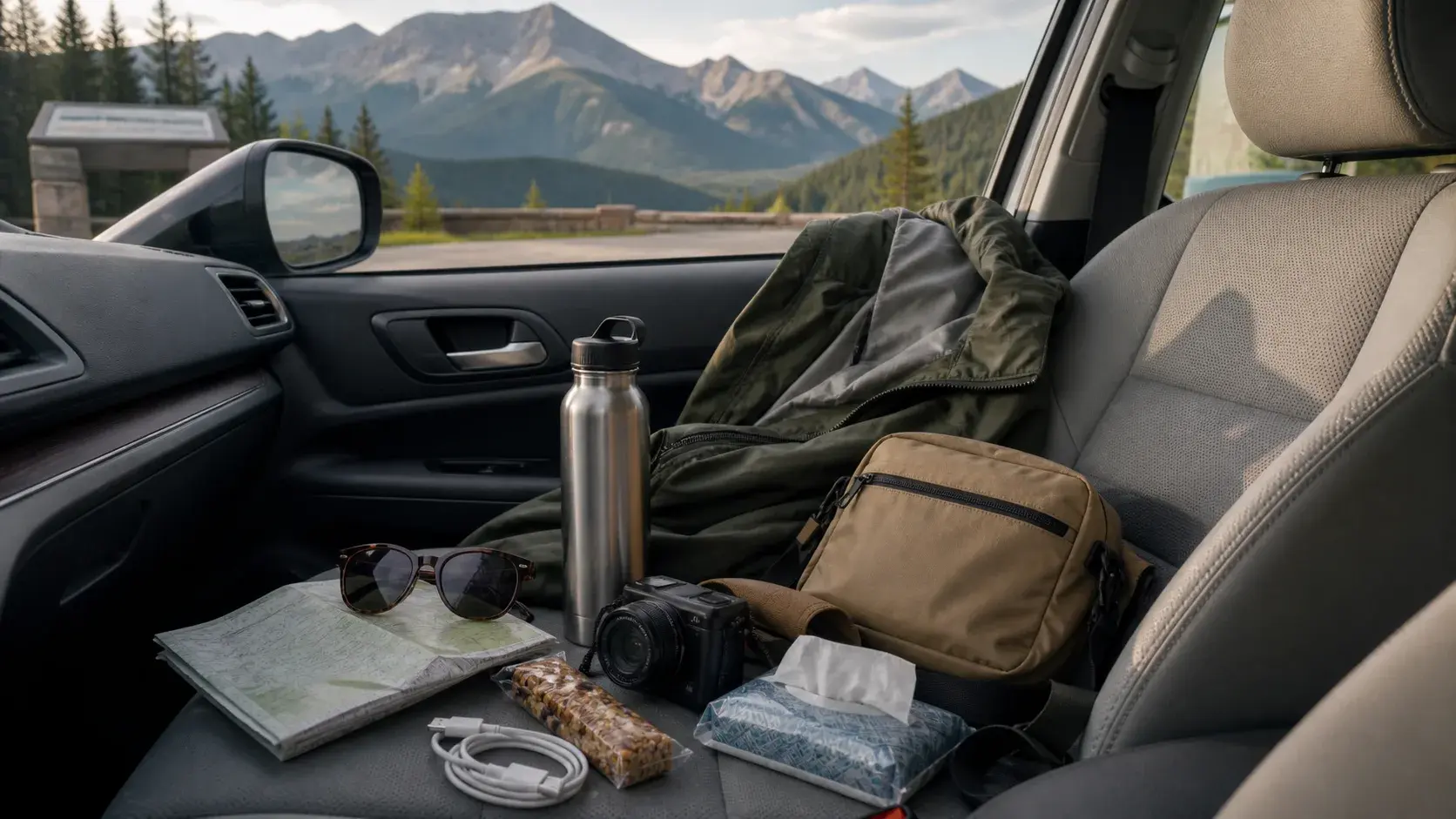
Scenic drive comfort
Scenic Drive Comfort Checklist
A scenic drive feels better when the car supports the day instead of swallowing it: essentials visible, stops planned and weather treated as part of the route.
Open the guide