
Québec · Coastal loop
Gaspé Peninsula Road Trip: Route 132
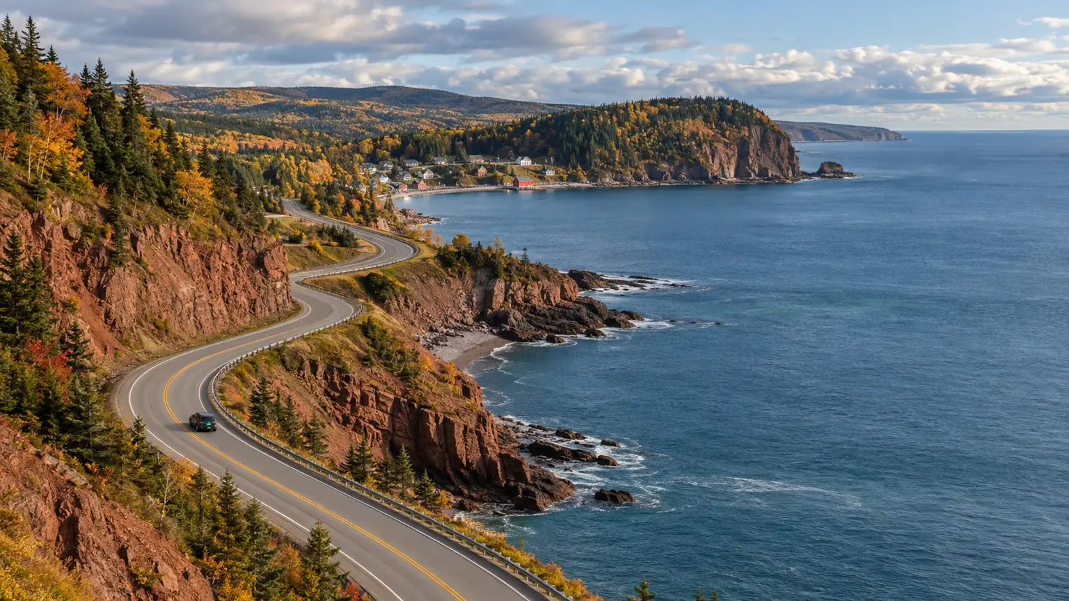
Route 132 turns the Gaspé Peninsula into a natural loop, but the coast is too large and varied to treat as a continuous scenic drive. Build the journey around a few useful bases, protect time outside the car, and let the final direction follow the forecast and lodging plan.
- Region
- Gaspésie, Québec
- Best for
- First-time visitors, couples and families planning a self-drive coastal trip
- Season
- Spring through fall for the classic loop; verify seasonal services and road conditions
- Time
- At least five driving days for the peninsula, plus travel to and from the region
By Horizon Outdoor Editorial TeamPublished 2026-09-10
Quick facts
- Route spine
- Route 132 around the peninsula
- Pacing floor
- Tourisme Gaspésie advises at least five driving days
- Useful anchors
- North coast, Forillon–Gaspé, Percé and south coast
- Before each leg
- Québec 511, forecast, fuel and next check-in
Treat Sainte-Flavie as the loop decision, not the first attraction
Tourisme Gaspésie describes Sainte-Flavie as the point where Route 132 divides to circle the peninsula. Before arriving there, decide whether the trip will follow the north shore first or the south shore first. The better direction is the one that fits confirmed lodging, park days and the most favourable forecast—not a universal rule about which side should face the water.
Separate the journey to Gaspésie from the peninsula loop itself. A long approach from Montréal or Québec City followed immediately by a full coastal leg creates a driving day with little room for stops. Use a gateway night when needed, then begin the loop with enough daylight to understand the road and settle into the coast.
- Confirm clockwise or counter-clockwise after lodging and weather checks
- Count the approach as its own travel stage
- Save the first coastal stop for a rested day
Build the route around three or four coastal bases
A practical first loop uses bases rather than changing rooms after every viewpoint. One north-coast base, time around Forillon and Gaspé, a Percé-area stay, and a south-coast base create space for short walks, meals and weather changes. The exact towns can follow accommodation and the activities the group values.
Tourisme Gaspésie recommends allowing at least five days of driving for the peninsula. Treat that as a floor for the loop, not a promise that every major park and town fits comfortably. Add nights when hiking, boat trips, long meals or slow mornings are central to the experience.
- Base 1: north-coast landscape
- Base 2: Forillon and Gaspé area
- Base 3: Percé and eastern coast
- Optional Base 4: south-coast villages and return
Give Forillon and Percé separate weather decisions
Forillon National Park deserves a plan built from its current visitor guide, opening dates, facilities, trails and safety notices. Choose the park sector and activity before leaving the base. A national park day should not be squeezed between a long hotel transfer and an evening reservation elsewhere on the peninsula.
Percé is another natural anchor, but coastal visibility and marine activities respond to weather. Keep one shorter shore or town activity that can replace a more exposed plan. Avoid pre-booking every hour of both anchor days so that the clearer, calmer window can be used where it matters most.
- Use the current Forillon visitor information
- Keep each anchor day close to its base
- Hold one flexible half-day for coastal weather
Drive Route 132 as a working coastal road
Route 132 connects communities as well as viewpoints. Expect changes in speed, local traffic, construction and limited passing opportunities. Check Québec 511 before each leg and again after major weather. Let the passenger manage stops and navigation so the driver can follow the road rather than search for the next pullout.
Fuel before the gauge becomes the itinerary, especially when the day includes a park or a quieter coastal segment. Download the next lodging address and route while reception is reliable. Stop only where parking is legal and the vehicle can fully clear the travelled lane.
- Check Route 132 on Québec 511
- Refuel before entering the quieter leg
- Use signed pullouts and legal parking only
Protect one flexible day and a realistic final exit
A spare half-day or full day can absorb rain, road work, a missed activity or the simple wish to stay longer in one place. Without that space, every change pushes pressure into the next drive. The Gaspé loop works best when the route remains recognizable after one plan is removed.
On the final day, remember that reaching Sainte-Flavie or the regional gateway is not the same as reaching Montréal, Québec City or another distant home. Plan the exit as carefully as the arrival and add an overnight stop when the remaining drive would exceed the group’s alert, comfortable day.
- Hold weather space before the trip is full
- Remove a stop before extending a tired drive
- Count the post-loop journey separately
Common planning mistakes
- Counting the drive from Montréal or Québec City as part of the five-day peninsula pace
- Changing hotels every night
- Compressing Forillon into a transfer day
- Assuming one preferred loop direction works in all weather and lodging patterns
- Treating the return from Sainte-Flavie as a short final leg
Printable companion
Download the Canada road trip checklist
A printable list for documents, driving, weather layers, park days and the essentials worth keeping within reach.
Download the free PDFQuestions travellers ask
How many days does a first Gaspé Peninsula road trip need?
Tourisme Gaspésie advises at least five driving days for the peninsula. Add the approach and return separately, and add more time for hiking, marine activities or slower bases.
Should we drive Route 132 clockwise or counter-clockwise?
Either can work. Choose after comparing confirmed lodging, park plans and the forecast. Direction matters less than realistic bases and daylight.
Can Forillon and Percé fit into the same day?
They may appear close enough on a map, but each can justify substantial time. A first trip is usually calmer when each anchor has its own base or weather window.
What should we check each morning?
Review Québec 511, the destination forecast, any park or activity notice, fuel, legal parking and the next accommodation check-in before starting the leg.
Sources and currency
Conditions change. Confirm dynamic details again before departure; each source shows its own last-checked date.
- Tourisme Gaspésie: The Coastal Road and Gaspésie Tour (2026-09-10)
- Tourisme Gaspésie: Getting to Gaspésie (2026-09-10)
- Parks Canada: Forillon dates and hours of operation (2026-09-10)
- Parks Canada: Forillon maps and visitor guide (2026-09-10)
- Québec 511: Route 132 road conditions (2026-09-10)
- Environment and Climate Change Canada: Canadian weather forecasts and alerts (2026-09-10)
Continue planning
Related field guides
Printable planning guide
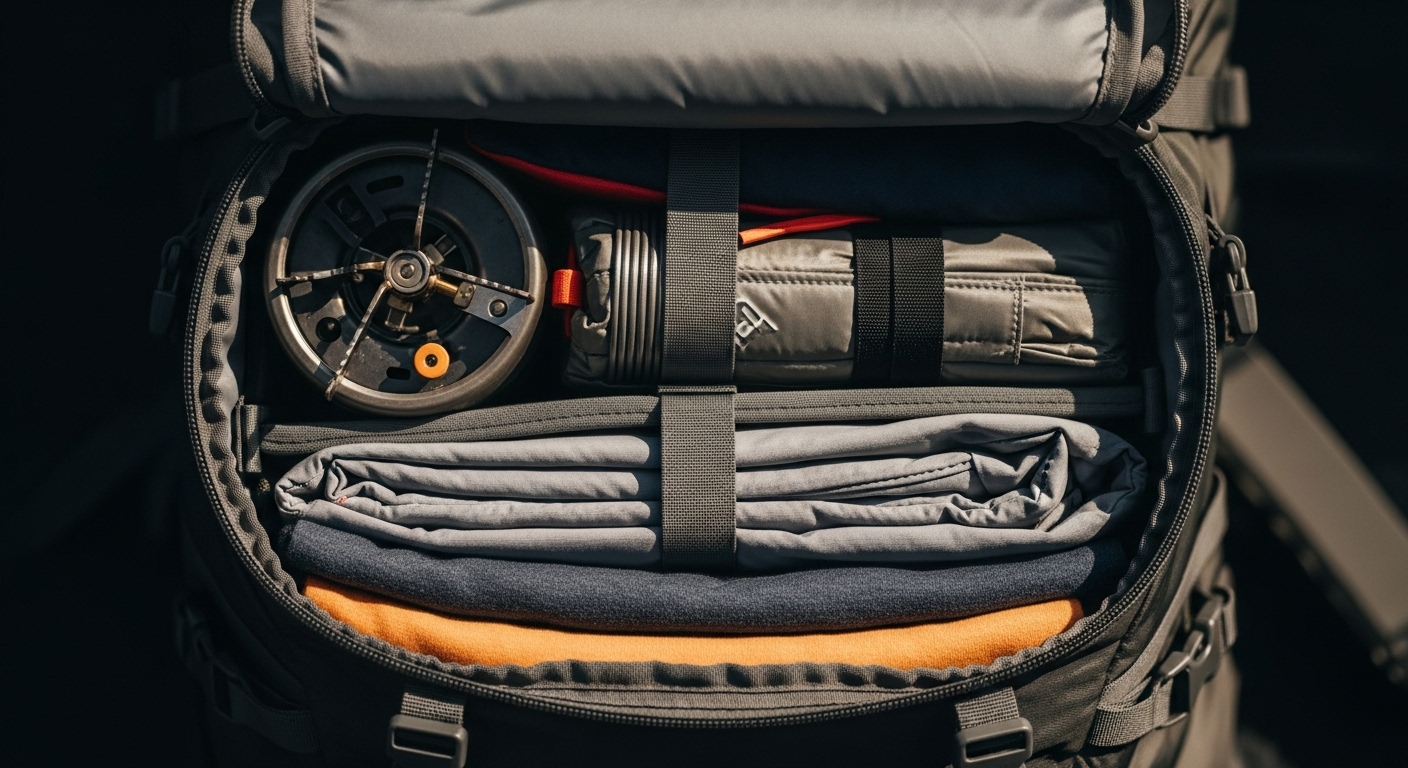
Canada Road Trip Packing Checklist
Start with the essentials that protect the trip, then remove anything your route, season and travelling party do not need.
Open the guide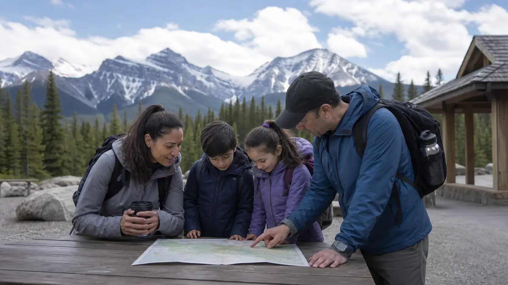
Canada · First national park trip
Canada National Parks First-Time Guide
A first national park visit works best when the logistics are visible before the scenery takes over: entry, reservations, roads, weather, wildlife and a day plan that can shrink.
Open the guide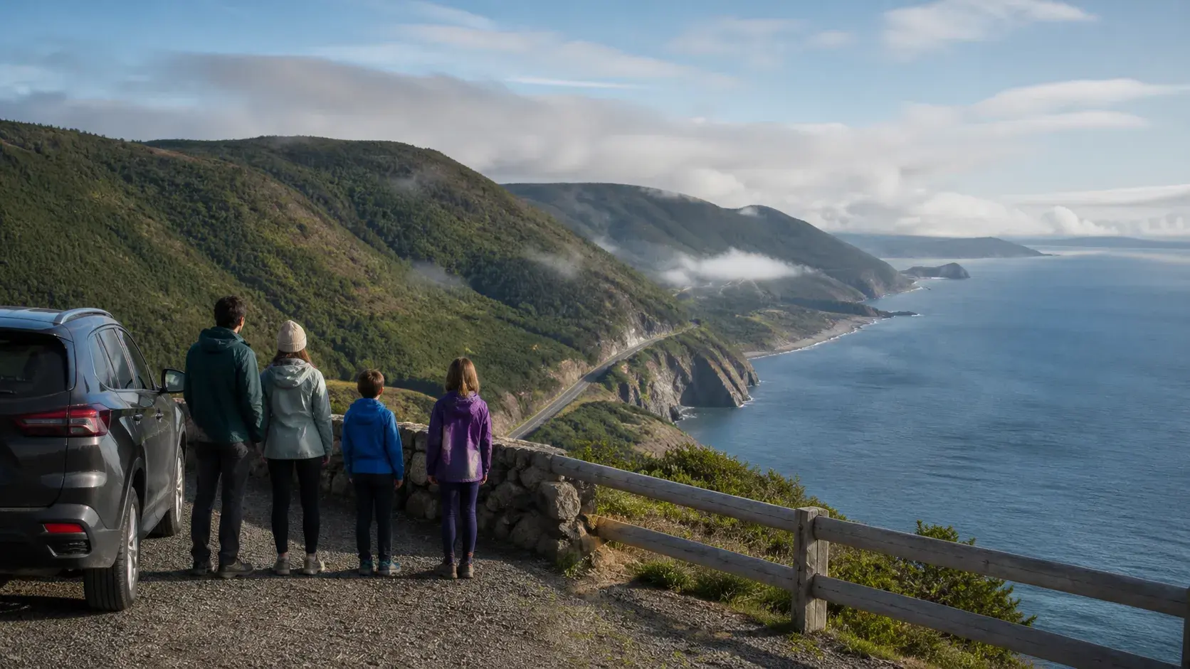
Nova Scotia · Cape Breton
Cabot Trail Road Trip Guide
The Cabot Trail is not a loop to finish. It is a coastal-and-highland drive where the best moments often come from slowing down.
Open the guide