
Northern Ontario · Great Lakes drive
Lake Superior North Shore Road Trip
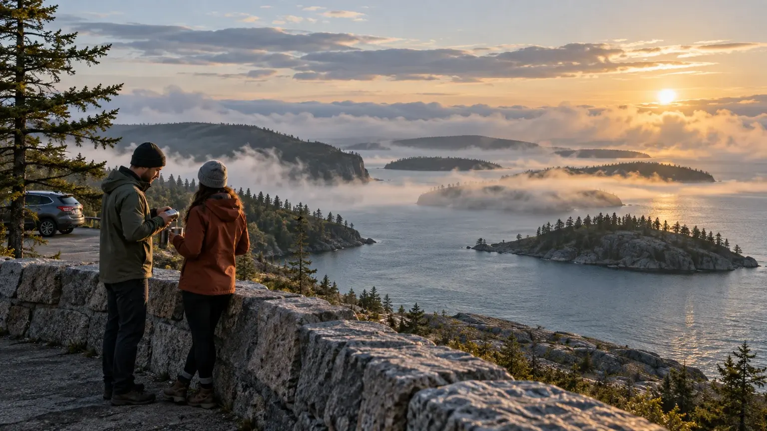
Highway 17 links long views, boreal forest, small communities and two major protected landscapes along Lake Superior. The route rewards travellers who turn distance into several deliberate days instead of one endurance drive.
- Region
- Sault Ste. Marie to Thunder Bay, Ontario
- Best for
- First-time northern Ontario road-trippers, couples and families
- Season
- Late spring through fall for a classic road trip; winter requires a different driving plan
- Time
- Four to six days for a comfortable one-way route with park time
By Horizon Outdoor Editorial TeamPublished 2026-09-10
Quick facts
- Route spine
- Highway 17 between Sault Ste. Marie and Thunder Bay
- Core bases
- Lake Superior park area, Wawa, Marathon–Pukaskwa and north shore
- Driving habit
- Refuel early and protect daylight
- Daily checks
- Ontario 511, forecast, park notices and next services
Divide the shore into landscape days, not equal kilometres
A useful one-way plan begins in Sault Ste. Marie and follows Highway 17 through Lake Superior Provincial Park, Wawa, the Marathon and Pukaskwa area, then onward through north-shore communities to Thunder Bay. The reverse works equally well. Choose direction from transport, reservations and forecast rather than from a single “best side” rule.
Do not divide the map into mechanically equal distances. Give shorter driving days to the sections where the plan includes a provincial-park trail, a Pukaskwa day or several legal viewpoints. Longer repositioning days belong where fewer activities are promised.
- Start or finish in Sault Ste. Marie
- Protect a Lake Superior Provincial Park day
- Use Wawa and Marathon–Pukaskwa as practical breaks
- Finish or begin in Thunder Bay
Give the provincial park and Pukaskwa separate plans
Lake Superior Provincial Park includes multiple campgrounds, day-use places, trails and access points along the highway. Use the official park page and map to choose the exact stop rather than assuming the park is one roadside viewpoint. Operating dates and facilities change through the season.
Pukaskwa National Park is reached on its own access road and offers frontcountry facilities as well as serious backcountry routes. A first road trip can centre on Hattie Cove and an appropriate day activity without turning the visit into a remote hike. Check operating hours, reservations, visitor guidance and the route before leaving the highway corridor.
- Select the exact provincial-park access point
- Use the Pukaskwa visitor guide for the current season
- Do not attach a park day to a long onward drive
Plan fuel and food before the quiet segment begins
Northern Ontario communities provide essential stops, but services are farther apart than in the major southern corridors and hours can change. Refuel when a practical town and open station align; do not wait for a low-fuel warning to decide the next stop. Carry enough food and water to absorb a delayed meal.
Download the route, accommodation address and park information before coverage becomes inconsistent. Tell the next host if arrival timing changes. A paper overview map is useful for understanding which towns remain ahead even when turn-by-turn navigation is unavailable.
- Refuel at planned community stops
- Keep food and water for a delay
- Save maps and next check-in details offline
Let Lake Superior weather control the stopping plan
Fog, rain, wind and fast temperature changes can reduce visibility or make an exposed shore stop uncomfortable. Check the forecast for the next section, not only the overnight town. When visibility closes in, remove the optional viewpoint rather than chasing every pin.
Keep a warm layer and rain shell in the cabin, not beneath all the luggage. Set a daylight target for arrival and take fatigue seriously; wildlife, curves and weather all demand attention. Ontario 511 should be part of every morning and post-weather check.
- Forecast the next highway section
- Keep layers within reach
- Arrive with daylight and driver attention in reserve
Use legal stops and leave one unscheduled half-day
A striking lake view is not permission to brake on a narrow shoulder. Use signed rest areas, park access points and established pullouts where the vehicle can clear traffic. Let a passenger identify the next safe stop instead of asking the driver to choose from a screen.
Leave at least one flexible half-day in the route. It can absorb fog, a trail closure, a late start or a longer-than-expected park visit. If it remains unused, it becomes time for a quiet shore, a meal or an earlier arrival—not a reason to add a distant detour.
- Stop only where the vehicle fully clears traffic
- Let the passenger manage optional viewpoints
- Keep one half-day free from fixed promises
Common planning mistakes
- Treating Sault Ste. Marie to Thunder Bay as one scenic endurance drive
- Calling Lake Superior Provincial Park one stop without choosing an access point
- Adding Pukaskwa to a long transfer day
- Waiting for a low-fuel warning in a quieter corridor
- Stopping on a narrow shoulder for an unscheduled view
Printable companion
Download the Canada road trip checklist
A printable list for documents, driving, weather layers, park days and the essentials worth keeping within reach.
Download the free PDFQuestions travellers ask
How many days should the Canadian Lake Superior shore take?
Four to six days is a useful first planning range for a one-way drive with park time. Add days for longer hikes, camping or a round trip.
Which direction is better?
Either direction works. Choose from arrival logistics, confirmed accommodation, park reservations and the forecast rather than assuming one side always provides better views.
Can we visit Lake Superior Provincial Park and Pukaskwa in one day?
They are separate anchor experiences with different access and visitor information. A first trip is stronger when each receives its own day or nearby overnight base.
What should stay inside the passenger cabin?
Keep water, food, a warm layer, rain protection, medication, charging and the next route details reachable without unloading the vehicle.
Sources and currency
Conditions change. Confirm dynamic details again before departure; each source shows its own last-checked date.
- Ontario Parks: Lake Superior Provincial Park information (2026-09-10)
- Ontario Parks: Lake Superior Provincial Park map (2026-09-10)
- Parks Canada: Pukaskwa National Park visitor planning (2026-09-10)
- Parks Canada: Pukaskwa brochures and maps (2026-09-10)
- Ontario 511: Ontario road conditions (2026-09-10)
- Environment and Climate Change Canada: Canadian weather forecasts and alerts (2026-09-10)
- AdventureSmart: Trip planning, training and essentials (2026-09-10)
Continue planning
Related field guides

Printable planning guide
Canada Road Trip Packing Checklist
Start with the essentials that protect the trip, then remove anything your route, season and travelling party do not need.
Open the guide
Canada · First national park trip
Canada National Parks First-Time Guide
A first national park visit works best when the logistics are visible before the scenery takes over: entry, reservations, roads, weather, wildlife and a day plan that can shrink.
Open the guide
Canada · First-trip shortlist
Canadian Road Trips for First Visits
Canada is too large for a single “best” road trip. Start with the landscape you want, the driving rhythm you enjoy and the logistics you are ready to manage.
Open the guide