
Newfoundland · First park plan
Gros Morne National Park Planning Guide
Gros Morne is a living landscape of coast, communities, wetlands, mountains and exposed geology. Give it a base, divide the map into workable regions and let weather decide the order rather than the ambition of the trip.
- Region
- Gros Morne National Park and neighbouring west-coast communities, Newfoundland
- Best for
- First-time Newfoundland visitors, families and independent road-trippers
- Season
- Year-round; services, tours, trails, camping and road conditions vary by season
- Time
- Three to five nights
By Horizon Outdoor Editorial TeamPublished 2026-09-10
Quick facts
- Arrival context
- Near Deer Lake; a longer drive from the Port aux Basques ferry
- First planning move
- Choose a community base and one park region per day
- Signature contrast
- Tablelands geology, coast, ponds and mountain landscapes
- Daily check
- Weather, trail status, tours, road and daylight
Choose a community base before dividing the park
Gros Morne is connected to several neighbouring communities rather than a single central town. Parks Canada lists options including Rocky Harbour, Norris Point, Cow Head, Woody Point and Trout River. Choose the base that supports the park region and activities most important to the group, then account for the real drive between north, central and south.
Three to five nights is a useful editorial range for a first stay. It leaves room for two distinct regions, a weather-adjusted day and the arrival or departure connection. Moving accommodation every night usually trades landscape time for packing and check-in time without making the park meaningfully smaller.
- Pick one base for most or all of a short visit
- Use the official distance chart, not the visual size of the map
- Keep arrival and departure days geographically simple
Give each day one geographic centre
Use the visitor guide to separate the park into workable areas. A southern day may focus on the Discovery Centre, Tablelands and communities around Bonne Bay; a northern day may centre on the Western Brook Pond area or coastal stops; a central day can combine interpretation with a trail appropriate to current conditions.
This is a sequencing method, not a promise that every named experience will be available. Tours, facilities and trails have their own operating information. Choose one anchor, one nearby shorter option and a route back to the base. Save a distant second region for another day.
- One region and one principal experience per day
- Pair only nearby stops from the visitor guide
- Check the exact tour, trail or facility before departure
Let interpretation make the landscape legible
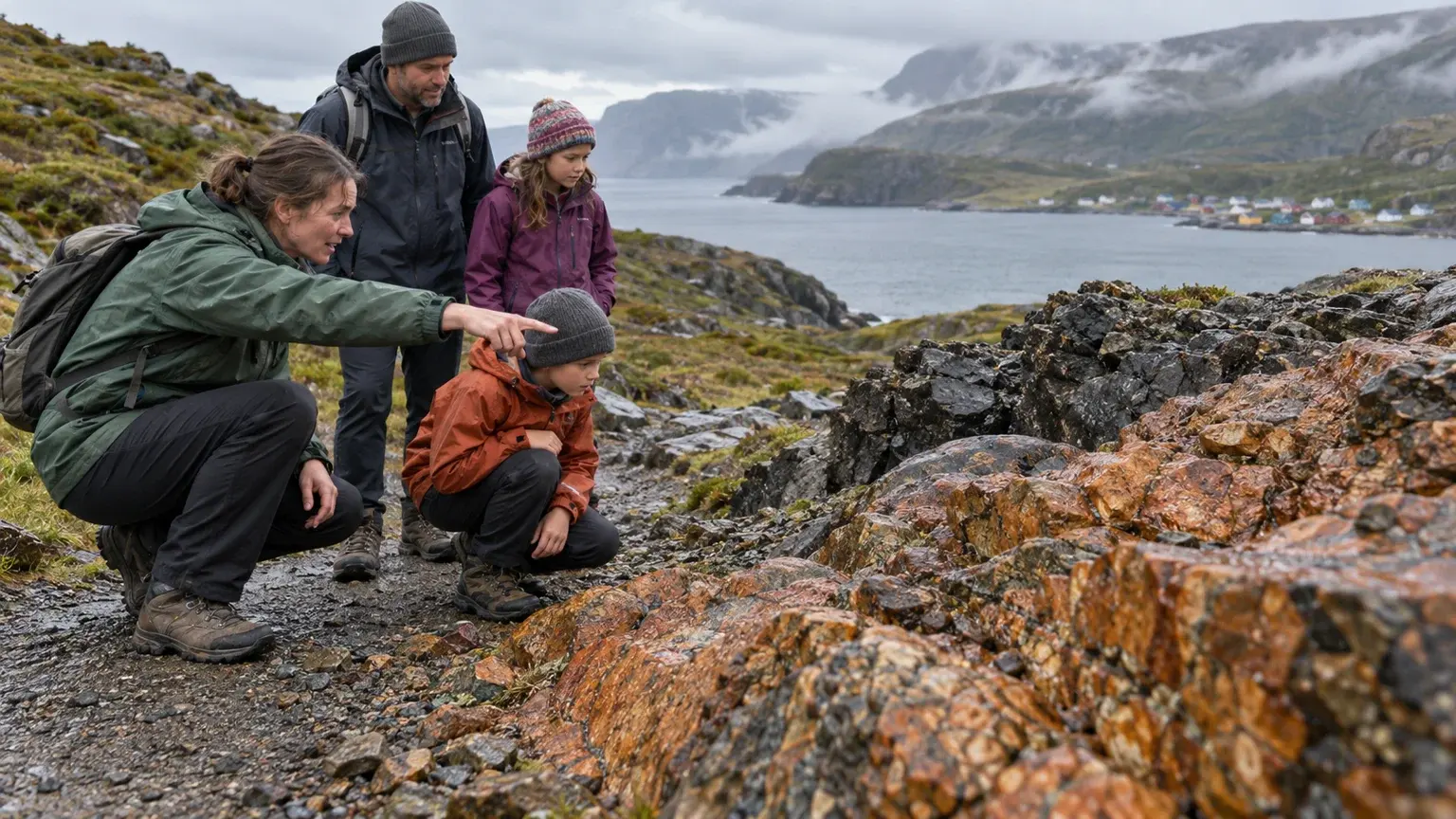
The park’s geological story is not limited to a summit or boat view. Begin with current interpretation at the visitor or discovery centre, then choose an established walk such as the Tablelands route when conditions suit the group. Understanding why contrasting rock is exposed turns a short outing into a central park experience.
Stay on the established route, leave rocks and plants in place and carry enough protection for wind, rain and sun. Do not extend a marked walk into an informal scramble because open terrain appears simple from the road. Use current trail information and the official rating, not a social-media caption, to decide whether the route fits.
- Start with current park interpretation
- Choose a trail from the official map and rating
- Observe geological features without collecting or scrambling
Treat tours and major hikes as separate commitments
A guided boat tour, a mountain route and a family nature walk have different booking, transport, time and weather requirements. Confirm the current operator or Parks Canada information for the exact activity, including the approach walk, check-in and return. Do not schedule another distant anchor immediately afterward.
Gros Morne Mountain and remote traverses require preparation beyond an ordinary park day, and ecological or seasonal closures can apply. A complete first visit does not depend on the summit. When a major activity is unsuitable, shift to interpretation, a shorter rated trail or a community-based coastal experience.
- Confirm reservation and full approach time
- Separate major hikes from casual walking days
- Keep a meaningful lower-commitment alternative
Use weather to reorder the trip, not to cancel its purpose
West-coast Newfoundland weather can change visibility, wind exposure and trail surfaces quickly. Recheck the destination forecast, Parks Canada notices and 511 Newfoundland and Labrador each morning. Carry a warm layer and waterproof shell even when the base begins clear.
On a low-visibility or wet day, shorten exposed walking and prioritise interpretation, a protected trail or time in a neighbouring community. Ferry arrivals and long island drives also need margin. The strongest plan preserves its themes—geology, coast, culture and scale—while changing which place delivers them.
- Check park notices, 511NL and destination weather
- Keep waterproof and warm layers accessible
- Build ferry and long-drive margin into arrival and departure
Common planning mistakes
- Treating the entire park as one compact cluster
- Changing community bases every night during a short visit
- Booking a tour without counting its approach and return
- Using a summit as the only measure of a complete trip
- Driving a long ferry connection and a full park day without margin
Printable companion
Download the Canada road trip checklist
A printable list for documents, driving, weather layers, park days and the essentials worth keeping within reach.
Download the free PDFQuestions travellers ask
How many days should a first Gros Morne visit include?
Three to five nights is a practical editorial range for two park regions, changing weather and arrival logistics. A shorter stay should focus on one region.
Which community should we use as a base?
Choose according to the park region and activities that matter most. Compare Rocky Harbour, Norris Point, Cow Head, Woody Point, Trout River and other nearby options using the official map and services information.
Is the Western Brook Pond experience only a boat ride?
No. Treat the complete outing as an approach, check-in, scheduled experience and return. Confirm current access and operator details before assigning the day.
Do we need to hike Gros Morne Mountain?
No. The park’s geology, coast, communities, interpretation and shorter trails can form a complete first visit without a summit.
Sources and currency
Conditions change. Confirm dynamic details again before departure; each source shows its own last-checked date.
- Parks Canada: Plan your visit to Gros Morne (2026-09-10)
- Parks Canada: Gros Morne visitor guide (2026-09-10)
- Parks Canada: Gros Morne park map and trail guide (2026-09-10)
- Parks Canada: Gros Morne safety and guidelines (2026-09-10)
- Parks Canada: Getting to Gros Morne (2026-09-10)
- Parks Canada: Camping and overnight accommodations (2026-09-10)
- Parks Canada: Parks Canada reservations (2026-09-10)
- Government of Newfoundland and Labrador: 511 Newfoundland and Labrador (2026-09-10)
- Environment and Climate Change Canada: Canadian weather forecasts and alerts (2026-09-10)
Continue planning
Related field guides
Newfoundland · Route 430
Viking Trail Road Trip Guide
The Viking Trail is not simply a road to the northern tip. It joins Gros Morne’s large park landscape with outport communities, exposed coastal weather and the history interpreted at L’Anse aux Meadows. Give both anchors enough time and treat the long return as part of the route.
Open the guide
Printable planning guide
Canada Road Trip Packing Checklist
Start with the essentials that protect the trip, then remove anything your route, season and travelling party do not need.
Open the guide
Canada · First national park trip
Canada National Parks First-Time Guide
A first national park visit works best when the logistics are visible before the scenery takes over: entry, reservations, roads, weather, wildlife and a day plan that can shrink.
Open the guide