
British Columbia · Pacific coast
Pacific Rim National Park Planning Guide
Pacific Rim rewards visitors who respect the coast’s scale. Give the island crossing and Highway 4 their own time, then let tides, weather and park notices decide how close the day gets to the water.
- Region
- West coast of Vancouver Island, British Columbia
- Best for
- Families and Vancouver Island road-trip travellers
- Season
- Year-round; facilities, reservations and coastal conditions vary
- Time
- 2–4 days
By Horizon Outdoor Editorial TeamPublished 2026-08-29Updated 2026-08-31
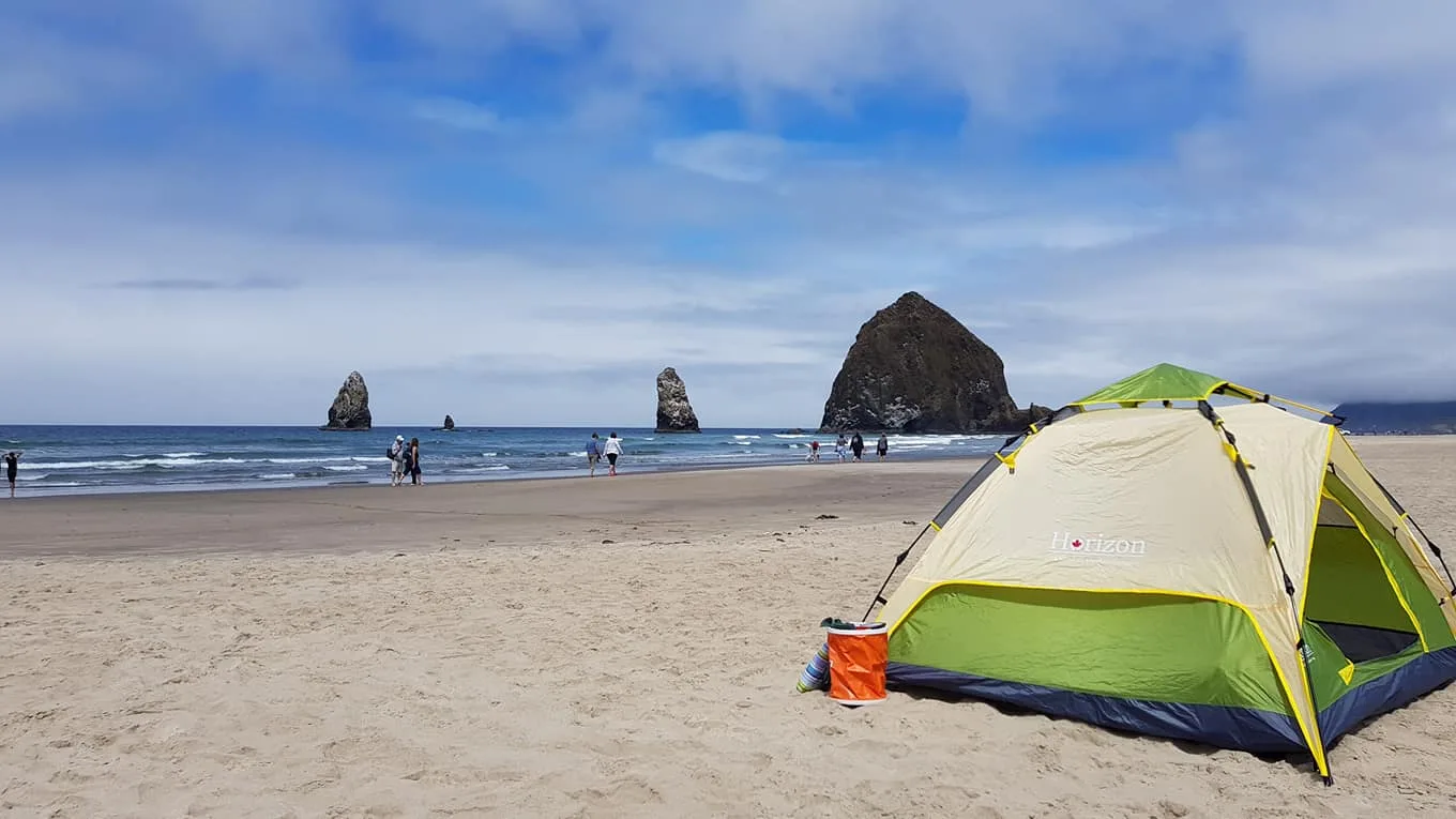
Quick facts
- First-time focus
- Long Beach Unit and nearby communities
- Arrival check
- Ferry status, Highway 4 and park bulletins
- Coastal rule
- Check tide, swell, weather and posted hazards
- Comfortable stay
- Two to four days with one west-coast base
Begin with the park-reserve context
Pacific Rim National Park Reserve includes the Long Beach, Broken Group Islands and West Coast Trail units, each with a different form of access and preparation. A first road-based visit usually centres on Long Beach between Ucluelet and Tofino. That practical focus should not be mistaken for a summary of the entire reserve.
The reserve is within the traditional territories of Nuu-chah-nulth First Nations. Read the cultural information and follow the regulations and closures attached to the place being visited. Do not add boat-access or remote backcountry units to a casual beach itinerary simply because they share the same park-reserve name.
- Use Parks Canada to identify the unit that fits your trip
- Respect cultural information, regulations and posted closures
- Do not add remote backcountry units to a casual beach itinerary
Choose a Long Beach visit for a road-based first trip
A Long Beach-based visit works well for travellers who want the coast without committing to a remote marine or multi-day trail journey. Use Ucluelet or Tofino as one base, then choose park stops by current notices, tide, weather and the group’s comfort near moving water. Two or more nights protects the visit from one poor-weather window.
The route is less suitable as a rushed day trip placed between a ferry and another island destination. Highway 4, meal stops, parking and beach conditions all take time. If the itinerary cannot absorb a delayed arrival or unsafe shoreline, keep the west coast for a later trip rather than turning the drive into a deadline.
- Families and first-time coastal visitors using one west-coast base
- Travellers comfortable changing the beach plan with conditions
- Vancouver Island road trips with at least two west-coast nights
- Visitors looking for short walks, beaches and community time
Give the island crossing and Highway 4 their own time
The journey from a ferry terminal or island base is a meaningful travel day, not spare space before sunset. Confirm the exact BC Ferries sailing and island terminal, then use DriveBC for Highway 4 conditions. Parks Canada describes the approach as a steep, twisting road where travellers should allow ample time and use pullouts appropriately.
Pack the vehicle so food, water, medication and weather layers remain reachable during the ferry and road journey. Avoid booking a shoreline activity too close to the expected arrival. A ferry delay, meal stop or road event should reduce the first evening’s plan, not create pressure to hurry on an unfamiliar highway.
- Check the exact BC Ferries sailing and terminal
- Review DriveBC conditions for Highway 4
- Leave daylight and food margin for delays and unfamiliar roads
Use one base and give each day one coastal anchor
One base removes daily packing and lets weather decide the order of the outings. Begin with an official information point or current online notice, then choose one beach area and one nearby short walk. The west coast offers enough detail that a successful day does not need several distant beaches or repeated drives between Ucluelet and Tofino.
Keep the best-looking weather window for the most important shoreline plan and use forest, interpretation or community time when wind and waves make the coast less comfortable. On departure day, stop adding activities early enough to protect the Highway 4 drive and any ferry check-in requirement.
- Day 1: arrival, current park check and a short orientation stop
- Day 2: one Long Beach area plus a nearby forest walk
- Day 3: the best available beach window or community alternative
- Departure day: protect Highway 4 and ferry timing
Treat tide and swell as part of the route
A beach can narrow quickly, and waves, wind or moving drift logs can make a familiar-looking shoreline hazardous. Check tide, weather, swell and posted warnings before settling into a beach area. Continue watching the water instead of treating the first safe-looking moment as permission to stay in the same place for the entire day.
Keep a clear return path and move away early as the tide rises. Never turn your back on active surf, and stay off drift logs when waves or high water can move them. Children and pets need close supervision near the shoreline. If a closure or hazard notice is posted, choose the inland alternative without testing the boundary.
- Review tide, weather, swell and posted wave-hazard information
- Watch the rising tide and preserve a safe return route
- Stay off beaches and drift logs when conditions or closures say to leave space
Build low-pressure coastal days
Choose one beach area, one short walk and enough dry time rather than chasing every viewpoint. Start with the place that best fits the tide and weather, then add a nearby forest trail or visitor stop only if the group remains comfortable. A beach does not need to be occupied for hours to be the centre of the day.
When shoreline conditions are poor, use the reserve’s current visitor information to identify a suitable open alternative and pair it with time in Ucluelet or Tofino. A low-pressure plan respects both the coast and the people travelling. It also avoids moving the vehicle repeatedly through busy parking areas simply to collect another view.
- Start at a visitor centre or official information point
- Keep the day close to a single unit and community base
- Use a forest or community alternative when shoreline conditions are poor
Pack for damp, cold transitions
The useful kit moves easily between ferry deck, wet path, beach edge and a warm indoor stop. Carry a rain shell, warm layer, water, food, simple first aid and a dry pouch for medication or electronics. Add a towel or dry seat layer near the vehicle door so a brief beach visit does not soak the rest of the luggage.
Bring one complete dry change for each child and separate wet footwear or clothing before returning to the accommodation. Waterproof storage is most valuable when it protects a few critical items rather than every possession. Technical surf, paddling or backcountry equipment belongs to those activities and is outside this road-based first-visit kit.
- Rain shell, warm layer and dry change
- Water, food and a simple first-aid kit
- Towel or dry seat layer plus waterproof storage for essentials
Recheck the coast before the return drive
Recheck the park, Highway 4 and ferry information before loading the final morning with stops. A saved ferry confirmation does not replace the current service status, and an open park does not mean every facility or beach access is unchanged. Keep the last optional stop close enough to remove without affecting the crossing.
Reset the day bag, isolate wet equipment and put travel documents where they can be reached at the terminal. Leave with food, water and enough fuel for the expected route. The same unhurried approach used on the beach should shape the return: official conditions decide the route, and a missed viewpoint is preferable to a rushed island drive.
- Park bulletins, fire restrictions and facility notices
- Highway 4 events and weather
- Ferry status and vehicle check-in requirement
- Food, fuel and daylight margin for the island journey
Common planning mistakes
- Treating ferry arrival and Highway 4 as a short prelude to a full park day
- Turning your back on the ocean or climbing onto drift logs near moving water
- Assuming a campsite, trail, facility or beach access remains available without checking
Printable companion
Download the family road trip checklist
A printable family list for car comfort, weather changes, food stops, simple outdoor days and backup plans.
Download the free PDFQuestions travellers ask
How long is the trip from Nanaimo?
Parks Canada describes the Long Beach Unit as roughly a three-hour drive from the Nanaimo ferry terminal, but ferry, road and weather conditions can change that day.
Do I need a reservation?
Camping and backcountry experiences can require reservations. Check the exact activity and date through Parks Canada rather than applying one rule to every visit.
Is a beach day safe in any weather?
No. Observe the shoreline, check tide and swell information, follow closures and move to a safer alternative when conditions are poor.
What should a family pack?
Bring weather layers, food, water, dry storage and a simple backup activity that does not depend on safe beach access.
Sources and currency
Conditions change. Confirm dynamic details again before departure; each source shows its own last-checked date.
Continue planning
Related field guides
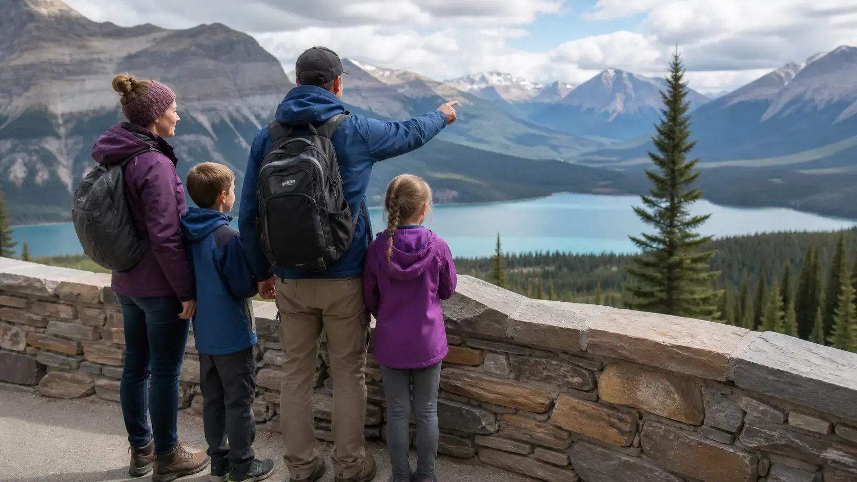
Canada · Family park planning
Best Canadian National Parks for Families
The best family national park is not always the most famous. It is the one your group can reach, understand and enjoy without turning every day into a test of endurance.
Open the guide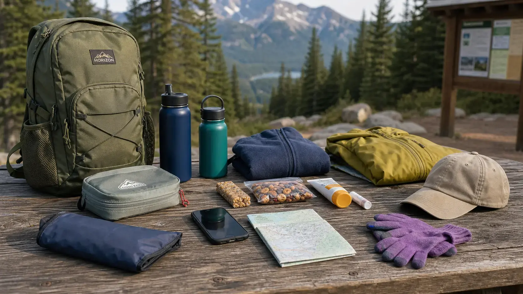
National parks · Day bag system
Canada National Park Day Bag Checklist
A good national park day bag is small enough to carry and organized enough to solve the ordinary problems that end good days early.
Open the guide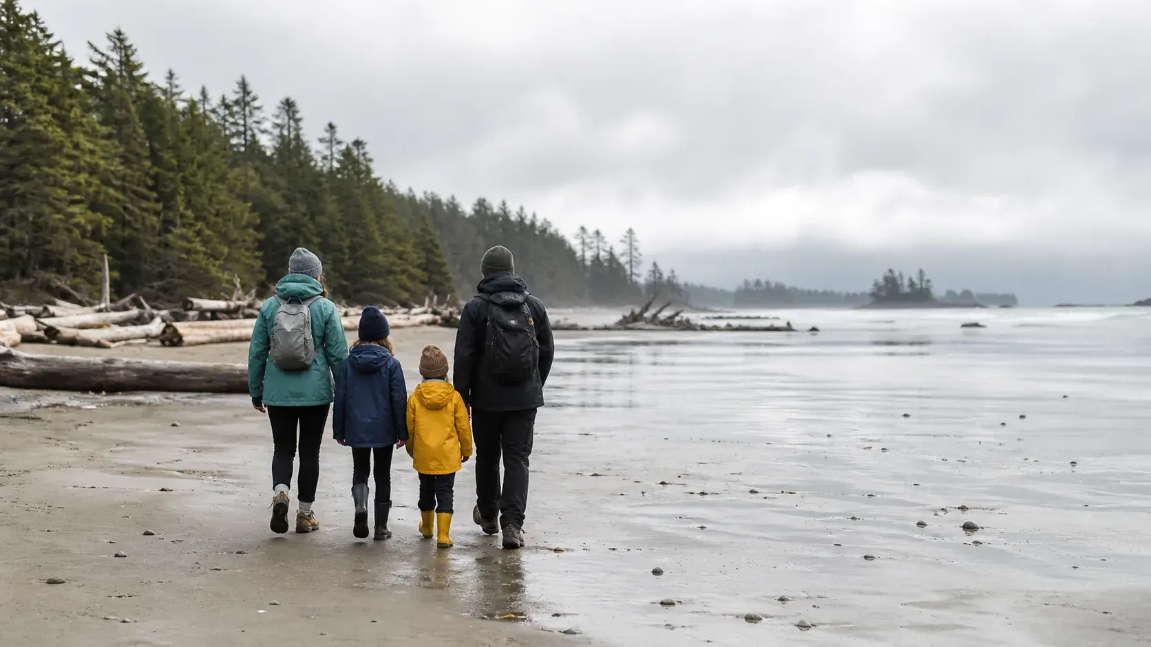
British Columbia · Ferry to Pacific coast
Vancouver to Tofino Family Road Trip Guide
The route to Tofino works best when the ferry, Highway 4 and wet-coast weather are planned as part of the trip instead of treated as obstacles.
Open the guide