
British Columbia · Coast and forest
Vancouver Island Loop Road Trip Guide
This is an island trip, not a race around a ring. Ferry timing and cross-island drives set the structure; beaches, forests and communities give it character.
- Region
- Southern and central Vancouver Island, British Columbia
- Best for
- Families, coastal-road-trip travellers and first-time island visitors
- Season
- Late spring through early autumn
- Time
- 5–8 days
By Horizon Outdoor Editorial TeamPublished 2026-08-29Updated 2026-08-31
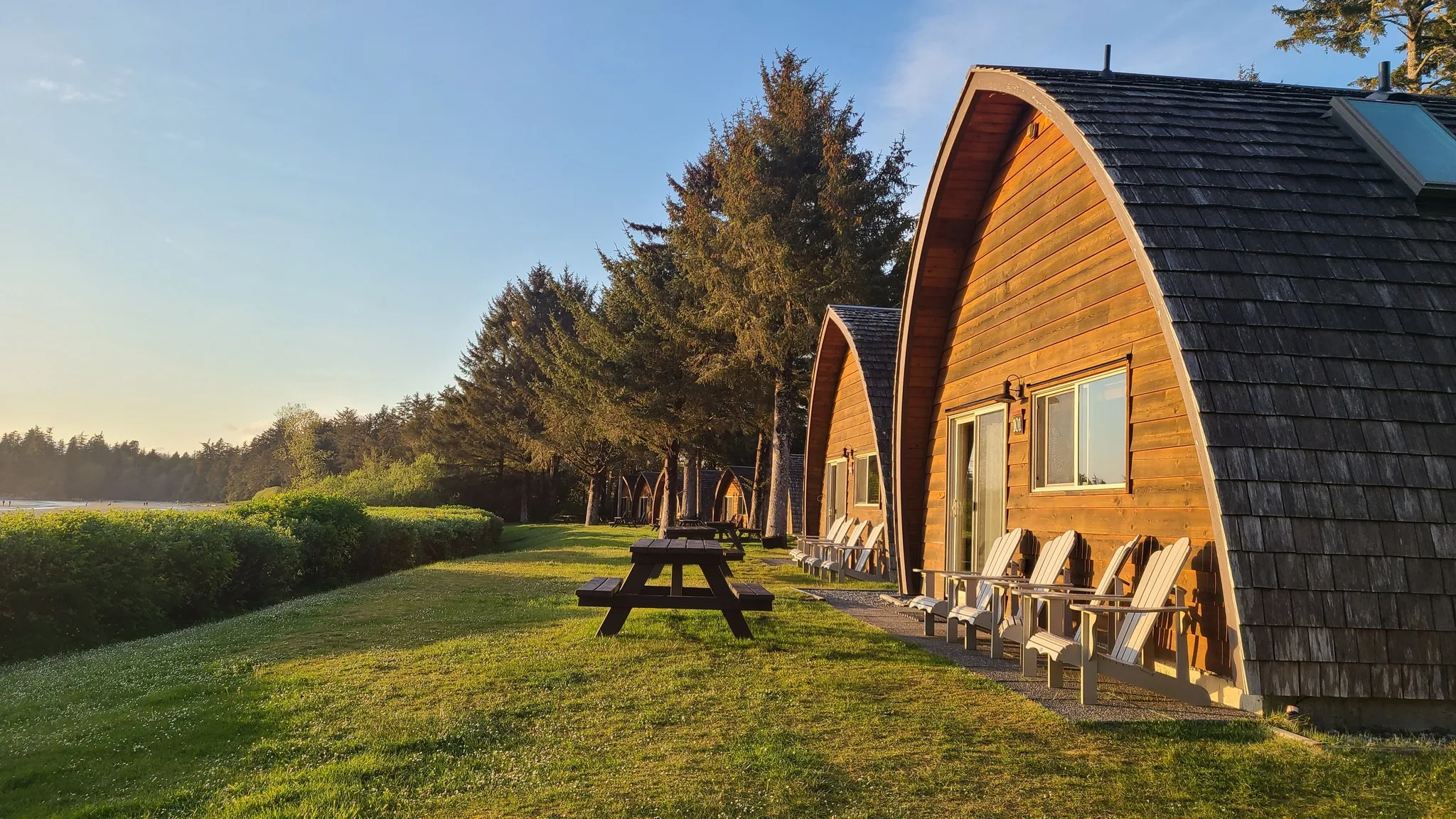
Quick facts
- Trip shape
- Ferry plus southern and central island loop
- Comfortable pace
- Seven days
- Primary check
- BC Ferries and DriveBC
- Weather
- Coastal rain can arrive in any season
Choose the shape before the stops
Decide which ferry terminals and overnight bases fit the trip before adding beaches and walks. A useful island loop has a clear arrival side, a clear departure side and no more long driving days than the group can comfortably absorb. Victoria, the Cowichan Valley, Nanaimo and the west coast can form a strong journey, but they do not all need to appear in every first visit.
A five-day trip is better treated as a focused southern or central route. Seven or eight days makes room for several two-night bases and a west-coast extension. If the ferry schedule or accommodation choice forces repeated backtracking, the route is no longer serving the holiday; simplify the shape before adding more stops.
- Victoria and the south island
- Cowichan or Nanaimo corridor
- West-coast extension only with enough days
Choose clockwise or counter-clockwise for practical reasons
Neither direction is inherently more scenic. The better choice follows the ferry terminals, booked beds and any fixed activity. Travellers arriving near Victoria may move through the south before continuing north; travellers arriving near Nanaimo can begin centrally and decide whether the west coast or south island deserves the larger share of the trip.
Place the most important stop early enough that poor weather or a road delay does not erase it completely. Keep the final night within a manageable distance of the departure terminal. That buffer matters more than completing a perfect ring, especially when the return sailing connects to a flight, a long mainland drive or another reservation.
- Start where the confirmed ferry lands
- Put the most weather-sensitive section where it has recovery time
- Finish near the terminal used for the return sailing
- Avoid reversing direction only to follow a popular online map
A seven-day outline
Use several two-night bases to reduce constant packing and checkout time. A calm seven-day outline might pair two nights around Victoria or the south island, two nights in a central base and two or three nights for a west-coast or Pacific Marine Circle section. The exact communities matter less than preventing every morning from becoming another move.
Give each base one anchor outing and one lower-effort option. A forest walk, beach stop or town visit can share a day when they are close together; a cross-island drive should not also carry the trip’s longest hike. Check opening, reservation and access details individually, because the loop itself does not guarantee that every attraction operates in every season.
- Days 1–2: Victoria and nearby coast
- Days 3–4: central island forests and towns
- Days 5–6: west-coast base if conditions and bookings allow
- Day 7: return ferry with buffer
Treat the ferry as part of the itinerary
A sailing is not just a bridge between roads; terminal choice, check-in instructions and arrival time affect the whole day. Confirm the exact route used by the vehicle, then build the first and last overnight plans around that crossing. A map that simply says “Vancouver to the island” hides different mainland terminals, island terminals and road connections.
Use BC Ferries for the current schedule, reservation options, check-in requirements and service notices. Save the booking details, but recheck the sailing near departure because a confirmation does not freeze operating conditions. Keep food, medication, warm layers and children’s essentials available during the crossing rather than locked beneath the full vehicle load.
- Check current schedules and conditions
- Reserve when your sailing allows it
- Keep a later-day plan if the crossing shifts
Treat the west-coast extension as its own planning block
The drive between the central island and the Pacific coast deserves a protected part of the itinerary. Check DriveBC before departure and leave enough daylight for a curving, unfamiliar road. Reaching Tofino, Ucluelet or Pacific Rim late in the day should not depend on every ferry, meal and roadside stop running exactly to schedule.
Once on the coast, let one base support several short outings. Pacific Rim National Park Reserve has distinct units, current notices and specific safety guidance; it should not be reduced to a single beach pin. Check tide, weather and park information before choosing the shoreline plan, and keep an inland or community option when conditions are poor.
- Check Highway 4 conditions before leaving the central island
- Use one west-coast base rather than changing towns each night
- Confirm park, beach and accommodation details independently
- Keep a forest or community alternative for rough coastal weather
Island distances feel longer
Weather, curves, construction, ferry queues and town traffic make simple kilometre estimates incomplete. Add time for meals, viewpoints, washrooms and finding the next accommodation, then remove a stop if the day still looks crowded. The island rewards attention to communities and coastlines; it is less satisfying when every pause feels like a threat to the next check-in.
Choose food and fuel stops before remote or unfamiliar stretches, and keep a modest delay margin. Download the necessary maps but continue to use current official road information when connected. If a closure or incident changes the route, follow the official detour or pause the day rather than trying an unverified back road.
- Avoid stacking a long drive and major hike
- Choose food stops before remote stretches
- Leave daylight for unfamiliar roads
Pack for damp transitions
The most useful items move easily between ferry deck, forest trail, beach and town. Keep a rain shell, warm layer, water, food and a small dry pouch in the day bag. A towel or dry seat layer belongs near the vehicle door, while the main suitcase can stay closed during ordinary stops.
Create a separate place for wet footwear and clothing before the first rainy day. Coastal conditions can shift without turning the entire trip into an equipment problem when each person has one dry change and the vehicle has a simple reset routine. Pack for the planned walks and beaches, not for technical backcountry travel that is not on the itinerary.
- Rain shell and dry layer
- Small day bag and reusable water bottle
- Towel or dry seat layer for beach stops
Use a shorter route when the loop stops helping
A loop is a format, not an obligation. If the trip has fewer than seven days, a one-way regional arc or an out-and-back from the same ferry terminal may create more time outside the car. The Pacific Marine Circle is one official tourism example of an island circuit, but it is only one route and still requires current road checks.
Choose the shorter plan when children, weather, mobility needs or a fixed ferry make repeated long drives a poor trade. Removing one region can add a second night at the places that remain, reduce packing and make the final sailing easier to protect. A complete island visit is not possible in one holiday, so there is no need to drive as though it were.
- South island: Victoria, Sooke and the Cowichan area
- Central and west: Nanaimo, one central base and one west-coast base
- Pacific Marine Circle: only after current road and service checks
- One-terminal return: useful when ferry timing outweighs making a ring
Common planning mistakes
- Building the trip around too many one-night stays
- Assuming ferry space or timing without checking
- Underestimating rain and cross-island drive time
Printable companion
Download the family road trip checklist
A printable family list for car comfort, weather changes, food stops, simple outdoor days and backup plans.
Download the free PDFQuestions travellers ask
How many days do I need?
Five days can cover a focused southern route. Seven or more makes a central or west-coast extension more comfortable.
Should I reserve the ferry?
Check the current BC Ferries route and reservation options for your vehicle and sailing rather than relying on a general rule.
Is this a good family trip?
Yes, especially with two-night bases, modest daily drives and a mix of beaches, short walks and town time.
Sources and currency
Conditions change. Confirm dynamic details again before departure; each source shows its own last-checked date.
Continue planning
Related field guides
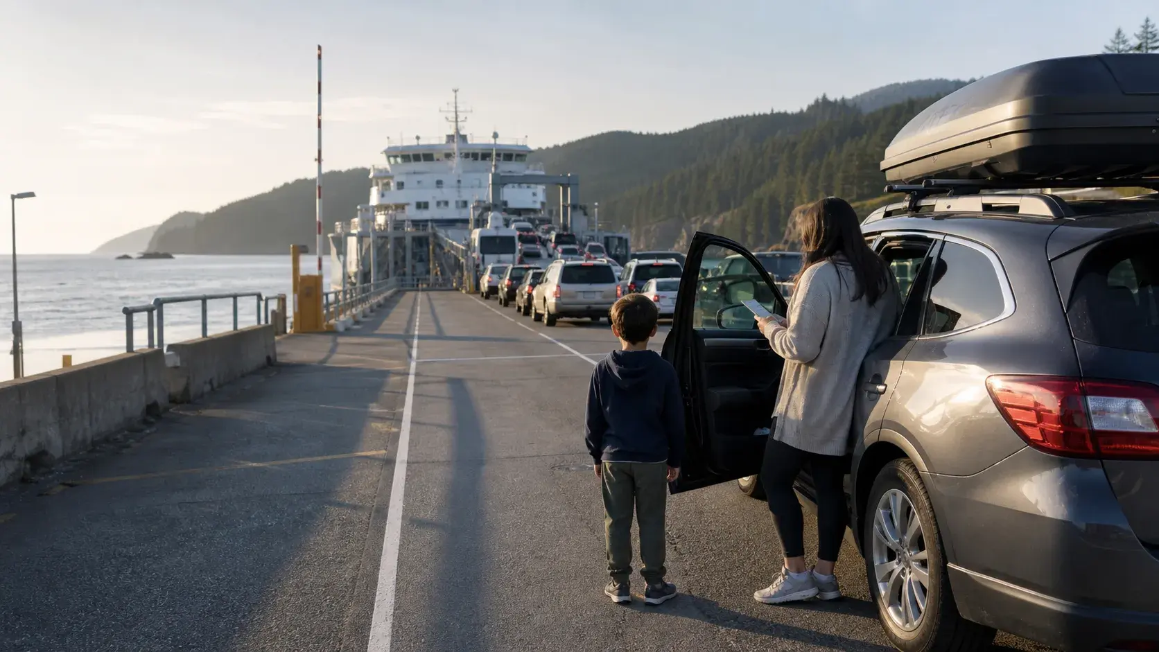
British Columbia · Ferry planning
Vancouver Island Ferry Route Planner
The ferry is the first part of the road trip, not a delay before it. Choose the terminal that puts you closest to your first overnight and keep the first island day intentionally light.
Open the guide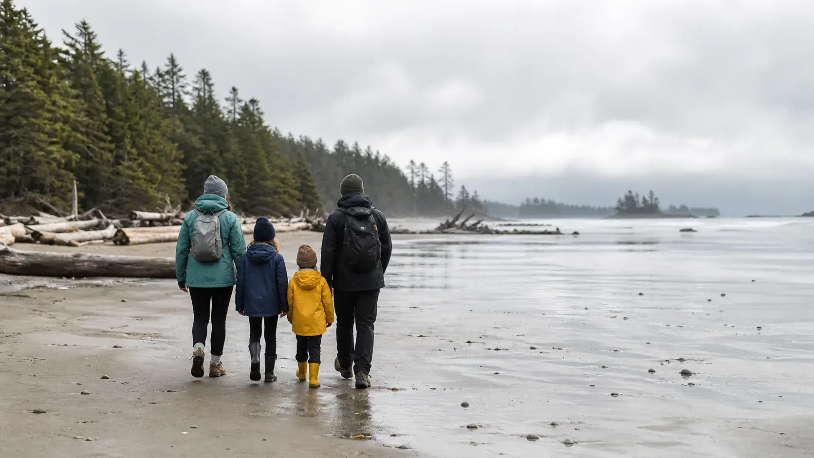
British Columbia · Ferry to Pacific coast
Vancouver to Tofino Family Road Trip Guide
The route to Tofino works best when the ferry, Highway 4 and wet-coast weather are planned as part of the trip instead of treated as obstacles.
Open the guide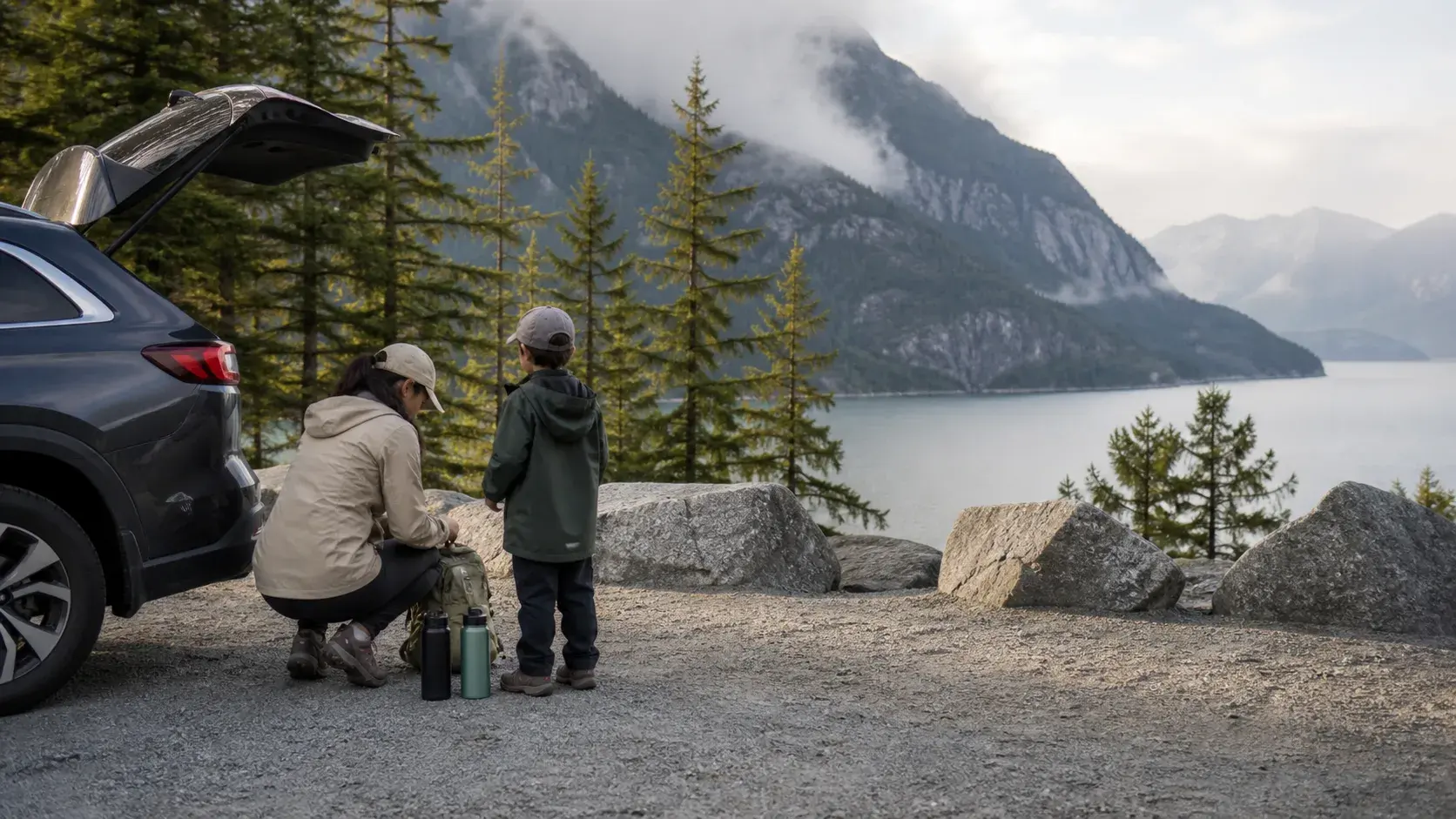
British Columbia · Highway 99
Sea to Sky Highway Road Trip Guide
Ocean, granite, forest and mountain towns arrive quickly on this compact BC route. Choose a few strong stops, check conditions before departure and protect the return drive from becoming rushed.
Open the guide